
✦ AI Summary
Table of Content
▲
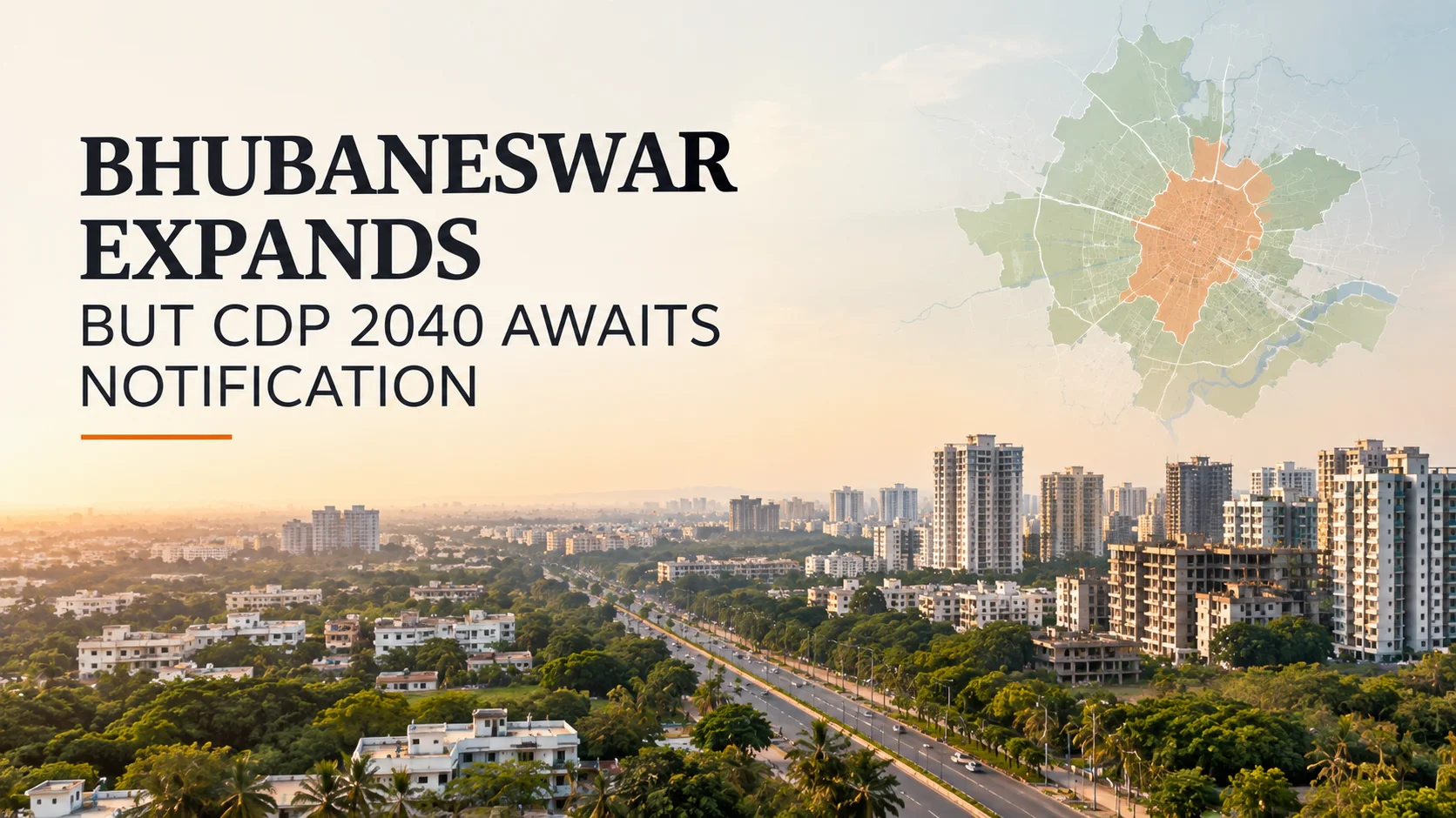
Bhubaneswar: Bhubaneswar is expanding rapidly beyond its established urban limits, but the long-awaited notification of the city's extended Comprehensive Development Plan (CDP) 2040 is still pending.
The delay comes at a time when large parts of the city's outskirts are seeing faster urbanisation, new housing activity and growing demand for roads and other infrastructure.
The extended CDP was prepared to bring these areas under a broader planning framework. It is intended to guide land use, transportation, housing and infrastructure development across the expanding urban region.
The issue is now becoming more important as the Bhubaneswar Development Authority (BDA) also works on a new GIS-based planning exercise for the city's existing and extended areas.
What is the Bhubaneswar CDP 2040?
The Comprehensive Development Plan 2040 is intended to provide a long-term framework for how Bhubaneswar and its surrounding areas should develop.
The extended plan covers hundreds of villages that fall within the expanded planning jurisdiction of the BDA. The original planning area covered 205 villages spread across about 419 sq km. The extended area adds another 364 villages covering around 691 sq km.
The objective is not limited to residential development. The plan also looks at roads, transport networks, commercial activity, environmental areas and other infrastructure needed as the city grows.
For a city that has expanded considerably from its original planned footprint, such a framework becomes important in deciding where development should take place and what infrastructure needs to come with it.
Read More : Greater Noida Master Plan 2041
Bhubaneswar CDP 2040 at a glance
|
Particular |
Details |
|
Planning authority |
Bhubaneswar Development Authority |
|
Plan |
Comprehensive Development Plan 2040 |
|
Existing planning area |
205 villages |
|
Existing area |
Around 419 sq km |
|
Extended area |
Around 691 sq km |
|
Additional villages |
Around 364 |
|
Planning approach |
GIS-based development planning |
|
Current status |
Final notification awaited |
Why the notification matters
The extended CDP has already gone through several stages of the planning process, including surveys, public consultations and consideration of objections.
However, the final notification is important because it would give the plan the legal framework needed for implementation.
Until that happens, development in the rapidly urbanising peripheral areas continues without the full certainty that a notified long-term plan can provide.
That uncertainty matters to several groups.
Property owners need to know how their land fits into the proposed land-use structure. Developers need clarity about future development possibilities and infrastructure planning. Buyers, meanwhile, have an interest in knowing whether a locality's roads, public facilities and surrounding development are likely to keep pace with housing growth.
Bhubaneswar's urban footprint is changing
Bhubaneswar was originally planned for a much smaller population. The city has since grown into a major regional centre for education, healthcare, tourism, government activity and technology-led businesses.
The expansion has also pushed development towards the city's peripheral areas.
Villages that were once largely outside the main urban activity are increasingly being drawn into the city's growth corridor. Housing projects, commercial development and supporting infrastructure are gradually changing the character of these areas.
That makes land-use planning more complicated.
If residential development moves ahead without adequate roads, drainage, public transport, water supply and other services, the result can be fragmented growth. A comprehensive plan is intended to reduce that problem by establishing a broader framework before development spreads further.
New GIS-based planning exercise adds another layer
The notification issue has gained attention because BDA has already started preparing a new GIS-based development plan that is expected to bring the existing and expanded planning areas under a more unified framework.
GIS-based planning can provide a more detailed picture of land parcels, roads, existing development and future infrastructure requirements.
The proposed planning approach is also expected to look at areas such as transit-oriented development, mixed-use zones, affordable housing, flood management and climate-resilient infrastructure.
But the sequencing of the two exercises has raised questions among urban planners.
The extended CDP was prepared specifically to address the city's expanding planning area. Its final notification would provide a clearer statutory framework before a newer planning exercise is brought into the picture.
What it could mean for real estate
The pending notification is relevant to Bhubaneswar's property market because planning decisions can influence how land is used and where future development gets concentrated.
Areas that receive better road connectivity, public transport and supporting infrastructure may become more attractive for residential and commercial development over time.
At the same time, not every area included in an expansion plan will immediately see large-scale construction.
For property buyers, the distinction is important. A proposed road, future development zone or planning designation should not automatically be treated as a guarantee of rising property values.
The actual impact will depend on implementation, infrastructure spending, approvals and the pace at which development reaches individual localities.
The pending notification is relevant to the Bhubaneswar real estate market because planning decisions can influence how land is used and where future development gets concentrated.
Peripheral villages face the biggest uncertainty
The extended planning area includes a large number of villages that are already experiencing changes in land use.
For residents and landowners in these areas, the final plan could provide greater clarity about future development patterns.
It could also influence decisions around residential layouts, commercial activity, roads and public infrastructure.
Until the notification is issued, however, there remains a gap between the proposed long-term planning framework and what can be implemented on the ground.
This is particularly relevant in locations where property transactions and development activity are already increasing.
What happens next?
The final notification of the extended CDP remains the immediate milestone for the planning process.
Once notified, the plan can provide a clearer framework for land-use decisions and future infrastructure development across the extended BDA area.
At the same time, the proposed GIS-based planning exercise will shape the city's longer-term development strategy.
For Bhubaneswar, the challenge will be to ensure that the two processes work together rather than create another layer of uncertainty.
The city's expansion is already underway. The planning framework now needs to catch up with that growth.
For property owners, developers and homebuyers, the final notification will therefore be more than an administrative step. It could provide greater clarity on how Bhubaneswar's rapidly expanding urban footprint is expected to develop through 2040.


Ans 1. Bhubaneswar CDP 2040 is a long-term Comprehensive Development Plan prepared to guide the city's growth, including land use, housing, roads, transportation, infrastructure and other urban development requirements. The plan also covers the city's extended planning area.
Ans 2. Not yet. The final notification for the extended CDP 2040 is still awaited. The draft plan has already gone through notification, objections, suggestions and revisions, but the final gazette notification that would give the plan legal effect has not been issued.
Ans 3. The proposed extended planning area covers 364 additional villages spread across about 691 sq km. These areas are being brought into a broader planning framework as Bhubaneswar's urban footprint expands.
Ans 4. The existing CDP covers 205 villages over roughly 419 sq km. The proposed extension therefore represents a substantial expansion of the area that needs to be planned and managed as part of Bhubaneswar's wider urban growth.
Ans 5. The CDP provides a framework for how land can be planned and how future roads, housing, infrastructure and other urban uses can be organised. Until the extended plan is formally notified, landowners and developers in the affected areas may not have the same certainty about the final planning framework.
Ans 6. CDP inclusion alone should not be treated as a reason to purchase land. Before buying, a buyer should separately verify land title, current land use, ownership records, development permissions, applicable BDA rules and RERA registration where relevant. The proposed CDP should not be confused with an approval for a particular plot or project.
Ans 7. A GIS-based planning approach allows the authority to work with mapped information about land, roads, settlements and other physical features. BDA has published draft GIS-based CDP material for the extended area and is also working on updating planning information for the existing 205-village area.