
✦ AI Summary
Table of Content
▲- Lucknow State Capital Region Master Plan 2051?
- Master Plan 2051 at a Glance
- Districts Covered Under the State Capital Region
- How Will the Master Plan Benefit the Region?
- Why Is GIS Technology Being Used?
- Impact on Real Estate
- Key Areas Likely to Receive Attention
- Opportunities for Investors
- Challenges in Implementing the Master Plan
- What Residents Should Expect
- Tips for Property Buyers
- Conclusion
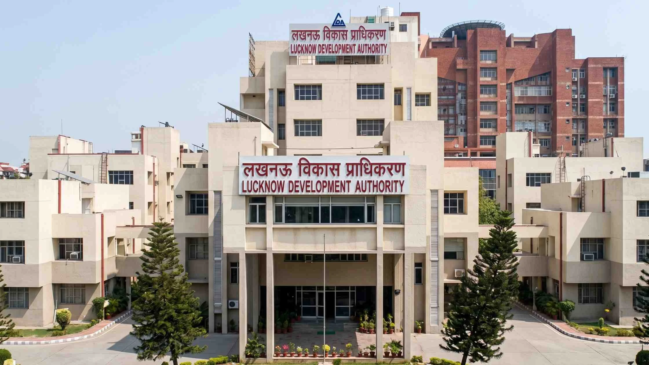
Lucknow Development Authority (LDA) is developing Master Plan 2051 for the Uttar Pradesh State Capital Region (SCR) with the use of Geographic Information System (GIS) technology. By introducing this plan, planners want to ensure long-term development, improve infrastructure, protect natural resources, and achieve a balanced growth in six districts around Lucknow.
The new master plan differs from the conventional planning process in that the plan will use GIS technology, which will provide accurate digital mapping, identify future development areas, ease transport planning, and facilitate better land management. The implementation of the project is likely to improve governance in urban development and create more prospects in terms of real estate, industry, and infrastructure in the region. This guide will provide you with all the information needed about Master Plan 2051 based on GIS technology.
Lucknow State Capital Region Master Plan 2051?
The Lucknow Development Authority has initiated the process of creating a detailed GIS-based Master Plan for the Uttar Pradesh State Capital Region, which is a planning zone that goes beyond the city limits of Lucknow and includes five adjoining districts of the Region as an integrated urban area surrounding the capital of the state.
A master plan of this kind is the foundational document for all land use decisions, infrastructure investment, residential and commercial zoning, and development regulation in the area it covers. Everything from where new roads are built, to which areas are designated for industrial development versus housing, to where green buffers are preserved, all of these decisions flow from the master plan framework.
What makes this particular master plan different from its predecessors is the use of Geographic Information System (GIS) technology as the core planning tool rather than static drawn maps. This isn't a technical detail without practical consequence, it fundamentally changes how the plan is prepared, how it's maintained, and how it can be used to guide specific planning decisions over the plan's 25-year lifecycle.
Primary Objectives
- Planned urban expansion
- Scientific land-use planning
- Better road and transport networks
- Sustainable environmental management
- Improved public services
- Balanced regional development
- Increased investment opportunities
Also Read: Lucknow Development Authority to Launch Three New Housing Schemes in June
Master Plan 2051 at a Glance
|
Particular |
Details |
|
Project |
GIS Powered Master Plan 2051 |
|
Prepared By |
Lucknow Development Authority (LDA) |
|
Region |
Uttar Pradesh State Capital Region |
|
Planning Technology |
Geographic Information System (GIS) |
|
Coverage |
Six districts including Lucknow |
|
Primary Goal |
Planned urban development till 2051 |
The integrated planning approach aims to support both urban and rural growth across the region.
Districts Covered Under the State Capital Region
The proposed State Capital Region includes Lucknow and several neighbouring districts that are expected to witness rapid urbanisation over the coming decades.
Expected Coverage
- Lucknow
- Barabanki
- Sitapur
- Hardoi
- Unnao
- Rae Bareli
The State Capital Region framework recognises what anyone living in or around Lucknow already knows practically that people's lives don't stop at city boundaries. Workers commute from Barabanki to jobs in Lucknow. Residents from Unnao use Lucknow's hospitals and educational institutions. Industrial development in Hardoi affects housing demand in Lucknow's periphery. Treating these as separate planning problems has produced the disconnected, uncoordinated growth pattern that characterises most of the region's current development.
How Will the Master Plan Benefit the Region?
The Master Plan 2051 is expected to transform the State Capital Region into a more organized and sustainable urban area.
Better Infrastructure
The plan will support new roads, flyovers, public transport systems, drainage networks, and civic amenities.
Planned Residential Development
New housing zones can be developed in an organized manner while reducing unauthorized construction.
Commercial Growth
The plan may identify dedicated business districts, commercial hubs, and industrial corridors to generate employment.
Environmental Protection
GIS mapping helps preserve forests, lakes, rivers, and environmentally sensitive areas while controlling unplanned development.
Improved Public Services
Schools, hospitals, parks, water supply systems, and waste management facilities can be planned according to future population growth.
Why Is GIS Technology Being Used?
Traditional master plans often rely on static maps that become outdated over time. GIS provides dynamic digital mapping that allows authorities to continuously monitor land use and urban expansion.
Benefits of GIS Planning
- Real-time mapping
- Accurate land records
- Better zoning decisions
- Infrastructure planning
- Flood risk assessment
- Environmental monitoring
- Improved traffic management
- Faster decision-making
Impact on Real Estate
One of the biggest beneficiaries of the Master Plan 2051 could be the real estate sector. As infrastructure expands into neighbouring districts, residential and commercial demand is expected to increase.
Possible Real Estate Benefits
- Higher land values
- Better planned townships
- Improved connectivity
- More investment opportunities
- Increased demand for residential projects
- Growth of commercial developments
- Greater transparency in land planning
Developers often prefer investing in locations with long-term planning and regulatory clarity.
Key Areas Likely to Receive Attention
The Master Plan is expected to focus on several critical development sectors.
Priority Areas
- Residential expansion
- Commercial districts
- Industrial development
- Transport corridors
- Metro connectivity
- Green spaces
- Water bodies
- Public utilities
- Affordable housing
- Disaster management
Integrated planning ensures balanced development rather than uncontrolled urban sprawl.
Also Read: Omaxe Group Invests ₹250 Crore in Lucknow's Premium Housing Project Cassia
Opportunities for Investors
For investors specifically, the period between a master plan's preparation and its full implementation is historically one of the most significant investment windows because the plan's direction is becoming legible while prices haven't yet fully reflected the infrastructure and development improvements that will follow.
Corridors between Lucknow and neighbouring districts particularly along the key arterial roads that the plan is likely to improve will benefit as improved connectivity makes previously distant locations practically accessible. Entry prices in Barabanki, Sitapur periphery, and near-Unnao areas are currently at significant discounts to comparable Lucknow city properties. If the master plan delivers the coordinated infrastructure it proposes, this price gap will narrow over the plan's horizon.
Areas designated for metro expansion in the plan will see the most reliable appreciation, based on the pattern observed in Lucknow Metro Phase 1's effect on property values along its corridor. Identifying these areas early before the metro designation is widely publicised is where the strongest relative returns are typically generated.
Industrial corridor periphery locations where the plan designates manufacturing or logistics zones and where residential development within commuting distance is available at current pricing represent a straightforward employment-demand-driven residential investment case.
Planned commercial districts within the SCR framework will create new employment centres that drive residential demand in surrounding areas, a pattern well-established in comparable planned city developments across India.
Challenges in Implementing the Master Plan
The master plan’s ambition is clear, but ambition and implementation aren’t the same thing , and if you stay realistic about the challenges it helps buyers and investors calibrate their expectations in a more measured way.
Land acquisition remains the most consistent implementation challenge for large-scale infrastructure and zoning in Indian cities. Acquiring land from multiple private owners across six districts is time-consuming, legally complex, and expensive in ways that regularly push project timelines beyond initial estimates.
Inter-department coordination across six districts, multiple state agencies, and the LDA itself requires institutional capacity and political will that needs to be sustained consistently over a 25-year period through multiple government cycles.
Funding and budget allocation for infrastructure implementation needs to be secured through regular government budget processes that don't always prioritise the plan's specific requirements in any given year.
Keeping the GIS data current requires ongoing investment in survey, satellite imagery, and data management, capabilities that need to be built and maintained rather than assumed from a one-time technology deployment.
What Residents Should Expect
For residents living within the proposed State Capital Region, the Master Plan may improve overall quality of life.
Possible improvements include:
- Better roads
- Reduced traffic congestion
- More parks
- Improved drainage
- Better public transport
- Organized residential development
- Enhanced civic amenities
However, implementation will occur gradually over several years.
Tips for Property Buyers
If you plan to invest within the State Capital Region, consider these steps:
- Verify land ownership documents.
- Check approved land use.
- Confirm project approvals.
- Verify RERA registration.
- Study future infrastructure plans.
- Choose reputed developers.
- Review connectivity improvements.
- Invest with a long-term perspective.
Proper due diligence helps reduce investment risks.
Conclusion
The GIS-Powered Master Plan 2051 represents a significant milestone in the planned urban development of Lucknow and its neighboring State Capital Region. Emphasizing the importance of modern mapping technology, the Lucknow Development Authority seeks to enhance infrastructure, optimize land utilization, conserve natural resources, and foster balanced economic growth.
With regard to prospective homebuyers, investors, developers, and citizens, the Master Plan promises many attractive opportunities in the future. The State Capital Region is anticipated to evolve into one of the best-planned growth corridors in Uttar Pradesh as infrastructure construction and urbanization initiatives reach fruition in the near future.

Ans 1. The GIS-Powered Master Plan 2051 is a long-term urban development blueprint being prepared by the Lucknow Development Authority for the Uttar Pradesh State Capital Region. It uses Geographic Information System technology to create digital maps, guide land use planning, direct infrastructure investment, and manage coordinated urban development across six districts, Lucknow, Barabanki, Sitapur, Hardoi, Unnao, and Rae Bareli through the year 2051.
Ans 2. The Master Plan 2051 covers six districts in the proposed Uttar Pradesh State Capital Region: Lucknow, Barabanki, Sitapur, Hardoi, Unnao, and Rae Bareli. The multi-district coverage is one of the plan's most significant features, enabling coordinated infrastructure and development planning across the entire functional urban region around the state capital rather than treating each district as a separate planning problem.
Ans 3. GIS stands for Geographic Information System, a digital mapping and spatial analysis technology that allows planners to create, update, and analyse maps and location-based data with far greater accuracy and flexibility than traditional paper-based planning methods. It's being used for Lucknow's Master Plan 2051 because it enables continuous map updates to reflect actual development, accurate land record management, better infrastructure planning based on real topography and existing services, environmental monitoring of sensitive areas, flood risk assessment, and data-driven decision-making that reduces planning errors.
Ans 4. The Master Plan 2051 is expected to positively influence property values across the Lucknow State Capital Region over its planning horizon through several mechanisms. Clarity on land use zoning reduces investment uncertainty and encourages developer activity. Coordinated infrastructure development roads, metro, utilities improves connectivity and livability in designated development corridors, which historically drives property appreciation. New planned residential and commercial zones in surrounding districts create development opportunities at current low prices that are likely to appreciate as infrastructure matures. And improved planning transparency allows investors to identify high-potential corridors before the investment opportunity is fully priced in.
Ans 5. Peripheral areas near Lucknow in the neighbouring districts particularly well-connected locations in Barabanki, Sitapur periphery, and near-Lucknow areas of Unnao and Rae Bareilly are likely to benefit significantly as the coordinated planning framework brings infrastructure investment and regulatory clarity to previously underplanned locations. Areas along proposed transport corridors, near designated commercial or industrial zones, and within metro expansion routes identified in the plan's transport framework are historically the strongest appreciation beneficiaries of master plan implementation.
Ans 6. The Master Plan 2051 differs from previous Lucknow development plans in three fundamental ways. First, it uses GIS technology as the core planning tool rather than static paper maps, enabling more accurate and continuously updatable planning. Second, it covers six districts as a coordinated State Capital Region rather than planning Lucknow in isolation from its surrounding area. Third, its 25-year horizon from the current preparation stage to 2051 provides a longer planning perspective that allows more fundamental infrastructure and land use decisions to be made with adequate lead time.
Ans 7. Environmental protection is a specific component of the master plan's framework. GIS mapping enables precise identification and protection of ecologically sensitive areas including river corridors, lakes, flood plains, and forest cover that would be difficult to accurately define in traditional planning. The plan aims to preserve natural features while managing urban expansion around them, assess flood risk across the region and exclude high-risk areas from development zoning, monitor encroachment on protected zones over the plan's lifetime, and coordinate water body management across district boundaries that river systems naturally cross.
Ans 8. Residents across the Lucknow State Capital Region can expect the master plan to guide several infrastructure improvements over its 25-year horizon. These include an improved arterial road network connecting Lucknow with neighbouring districts, public transport improvements including metro connectivity expansion, better water supply and sewerage networks planned to serve projected population growth, improved drainage systems particularly in flood-prone areas identified through GIS mapping, organised public facility development including schools, hospitals, and parks planned in proportion to population distribution, and commercial and industrial zone infrastructure that creates employment opportunities across the region.
Ans 9. The preparation of a comprehensive, GIS-based master plan is generally a positive context for medium to long-term property investment in the region, as it creates planning clarity and signals sustained government commitment to organised development. However, the investment case for any specific property depends on much more than the existence of a master plan, it requires verification of the specific property's land use designation, title clarity, developer credibility, RERA registration for under-construction projects, and infrastructure status in the immediate vicinity. The master plan provides a positive macro-context; property-level due diligence remains essential.
Ans 10. The master plan will establish the land use designation framework that governs what types of development are permitted in different areas across all six districts. Once gazetted, the plan's land use designations, residential, commercial, industrial, agricultural, protected become the basis for development approvals, building permissions, and regulatory enforcement. Properties in zones designated for residential development will have clearer permission pathways for housing projects. Land in commercially designated zones can be developed for appropriate commercial use. And environmentally protected zones will have restrictions on development activities that encroach on sensitive areas.