Table of Content
▲- What Is the Land Stack Project?
- Key Features at a Glance
- Objectives: Why This Matters Now
- Pilot Implementation in Chandigarh
- Role of the Chandigarh Administration
- What Citizens and Businesses Will Experience
- How It Helps Urban Planning and Governance
- Challenges, Safeguards, and the Road Ahead
- What Success Looks Like
- Conclusion
The Union government has kicked off an ambitious push to modernise land governance with a digital-first blueprint and Chandigarh to implement ‘land stack’ project has been chosen as a pilot. In a high-level committee meeting chaired by S. Chockalingam (Principal Secretary & CEO, Maharashtra), officials mapped out how the pilot will be executed, the guardrails for data integrity, and the milestones for rollout.
By elevating Chandigarh to implement ‘land stack’ project as a test bed, the Centre is signalling a move toward transparent, tamper-resistant land records that can be verified in seconds. For citizens, that translates to faster transactions and fewer disputes. For government, it promises integrated planning and better inter-departmental coordination.
What Is the Land Stack Project?
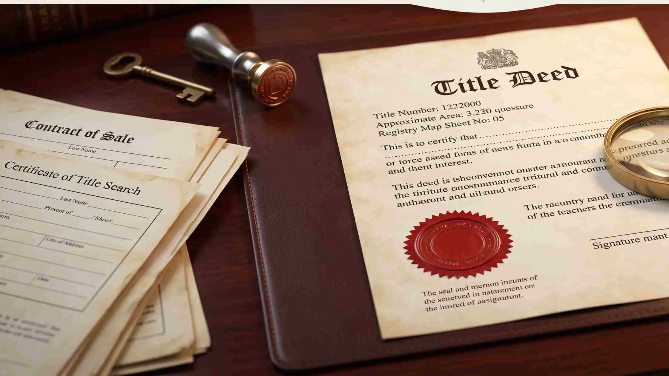
Think of Land Stack as a unified, technology-driven land information system. Instead of scattered records across departments, a single digital ledger will host ownership details, zoning information, encumbrances, and geospatial layers allowing quick verification before a sale, mortgage, or development approval. At its core, the decision for Chandigarh to implement ‘land stack’ project is about reducing friction in the property life cycle, from due diligence to registration and planning.
A key design principle is interoperability: cadastral maps, revenue records, municipal permissions, and even tribunal orders should talk to one another. When that happens, buyers can verify titles with confidence, lenders can underwrite faster, and planners can forecast growth with precision.
Key Features at a Glance
- Unified land database: Ownership, boundaries, land use, and legal restrictions captured in one trusted view.
- One-click verification: Instantly check whether a plot carries restrictions or ongoing renovations/works before initiating a transaction.
- Blockchain-backed integrity: A tamper-evident audit trail ensures edits are tracked and records remain authentic.
- Open-yet-secure access: Citizens, departments, and authorised professionals get tiered access aligned with their roles.
- Geospatial intelligence: Accurate maps support smarter urban planning, infrastructure layout, and disaster management.
For residents and institutions alike, Chandigarh to implement ‘land stack’ project means fewer trips to multiple offices and more certainty at every step.
Objectives: Why This Matters Now
- Transparency and Trust: Create a single source of truth for land records.
- Ease of Transactions: Enable verified digital records for faster sales, mortgages, and mutations.
- Efficient Planning: Use geospatial data to plan roads, utilities, housing, and green buffers.
- Dispute Reduction: Minimise litigation by clarifying ownership and permissible use upfront.
- Accountability: Standardise processes across departments and reduce manual intervention.
The goals behind Chandigarh to implement ‘land stack’ project align with citizen-first service delivery while strengthening institutional accountability.
Pilot Implementation in Chandigarh
The first committee meeting set the operational playbook: strict adherence to Department of Land Resources (DoLR) digitisation guidelines; common data formats; and clear protocols for map accuracy, field verification, and record updates. The NIC will provide technical support, while nodal officers from land-record departments will anchor day-to-day execution. With Chandigarh to implement ‘land stack’ project on a pilot basis, the city will become an early laboratory for national scale-up.
Officials emphasised blockchain-enabled storage for accurate, secure, tamper-proof record-keeping. Just as crucial is change management: staff will be trained, backlogs prioritised, and legacy records reconciled with current maps. These building blocks will determine how quickly Chandigarh to implement ‘land stack’ project can scale beyond pilot precincts.
Role of the Chandigarh Administration
Deputy Commissioner Nishant Kumar Yadav has committed dedicated manpower, inter-departmental coordination, and technical assistance to ensure the pilot stays on schedule. The administration will help NIC teams integrate datasets from revenue, municipal, planning, and registrar offices so that what used to be siloed becomes seamless. This hands-on support is essential for Chandigarh to implement ‘land stack’ project without compromising quality or timelines.
What Citizens and Businesses Will Experience
Once live, the service journey should feel refreshingly simple:
- Search & Verify: Enter a plot ID or address to view ownership, boundaries, land use, and any legal or planning constraints.
- Download Verified Extracts: Obtain digitally signed records to attach with loan files, sale deeds, or building approvals.
- Track Changes: Receive alerts when a record is updated—say, after a mutation, court order, or zoning change.
- Plan with Confidence: Builders, architects, and lenders can check compliance up front, reducing rejections and rework.
As Chandigarh to implement ‘land stack’ project goes live, day-to-day decisions—from buying a home to planning a shopfront should become faster and more reliable.
How It Helps Urban Planning and Governance
- Integrated decision-making: With BDA-like planning authorities, municipal departments, and registrars looking at the same verified layers, approvals can be coordinated rather than sequential.
- Better infrastructure rollout: Geospatial clarity helps place utilities where they’re needed most, avoiding duplication and encroachments.
- Environmental safeguards: Floodplains, conservation zones, and right-of-way corridors can be mapped clearly to prevent violations before they occur.
- Audit trail for every change: When records are updated, the “who, what, when” is logged critical for accountability.
In short, Chandigarh to implement ‘land stack’ project aims to replace opaque, paper-heavy processes with a transparent, standards-driven backbone.
Also Read: Construction Costs Surge 40% in Five Years, Affordable Housing Share Plummets to 12% in H1 2025
Challenges, Safeguards, and the Road Ahead
Any systems overhaul comes with hurdles:
- Data hygiene: Reconciling legacy records, rectifying overlaps, and aligning maps to ground truth requires time and rigour.
- Privacy & security: Role-based access, encryption, and consent-led data sharing must be baked in from day one.
- Inter-agency buy-in: Workflows only improve if every participating department adopts the same playbook.
- Citizen adoption: Simple interfaces, multilingual support, and robust helpdesks will be vital.
To ensure public trust as Chandigarh to implement ‘land stack’ project progresses, the pilot must prioritise transparent audits, independent testing of blockchain components, and clear redressal mechanisms when discrepancies are flagged.
What Success Looks Like
- Reduced transaction times for sales, mortgages, and mutations.
- Fewer disputes thanks to verified, up-to-date ownership and zoning data.
- Higher credit flow as lenders gain confidence in collateral verification.
- Smarter planning guided by geospatial evidence rather than fragmented files.
- Replicable standards that other states can adopt without reinventing the wheel.
If these outcomes are delivered, Chandigarh to implement ‘land stack’ project will become a national blueprint for digital land governance.
Conclusion
The Centre’s choice of Chandigarh to implement ‘land stack’ project marks a decisive step toward modern, citizen-centric land administration. By unifying records, hard-coding transparency, and embracing secure digital rails, the pilot promises to simplify life for buyers, sellers, lenders, planners, and the officials who serve them.
If executed with discipline and openness, Chandigarh to implementation of the ‘land stack’ project could do for land governance what UPI did for payments: set a common, trusted standard that the rest of the country willingly adopts. The pilot will be watched closely not just for what it builds, but for the confidence it restores in how India manages its most precious asset land.
Follow AquireAcers Whatsapp Channel to Stay Updated With The Latest Real Estate News
_1784272311.webp)


Ans 1. The Land Stack project is a unified digital platform for land records that combines ownership details, maps, zoning information, and legal data into one secure system. It aims to simplify verification, reduce disputes, and improve transparency in property transactions.
Ans 2. Chandigarh was selected because of its manageable size, strong administrative framework, and readiness to adopt digital-first governance. Its success will serve as a model for scaling the system across other states.
Ans 3. For citizens, the project means easier access to verified land records, fewer office visits, and faster property transactions. Buyers, sellers, and lenders can quickly confirm details like ownership, boundaries, and restrictions.
Ans 4. Blockchain ensures that records are tamper-proof and auditable, with every change logged securely. This guarantees data authenticity and builds trust in digital land governance.
Ans 5. Builders, lenders, and planners will be able to verify compliance instantly, reducing rework, delays, and disputes. Institutions can also use accurate geospatial data for smarter infrastructure and urban planning.
Ans 6. The main challenges include cleaning up legacy records, ensuring data security, and achieving inter-departmental coordination. Citizen adoption may also take time, so user-friendly design and support will be crucial.
Ans 7. With integrated geospatial data, planners can make informed decisions on roads, utilities, and environmental safeguards. It reduces duplication and prevents violations like encroachments on restricted zones.
Ans 8. Yes, banks and lenders will benefit from instant title verification and reliable collateral checks. This is expected to boost credit flow and speed up the loan approval process.
Ans 9. The system will use encryption, role-based access, and consent-driven data sharing to ensure records are secure. Independent audits and blockchain trails will add further protection.
Ans 10. If successful, the Chandigarh pilot will set standards for digital land governance nationwide. Much like UPI did for payments, it could create a trusted, scalable model for land management across states.