Table of Content
▲- Key Features of the GIS-Based Master Plan 2031
- Transit-Oriented Development: The Core Strategy
- Land Use and Urban Expansion
- Special Development Areas and Vertical Expansion
- Integration with Major Transport Corridors
- What Industry Leaders Say
- Real Estate Impact and Investment Potential
- Challenges and the Road Ahead
- Conclusion
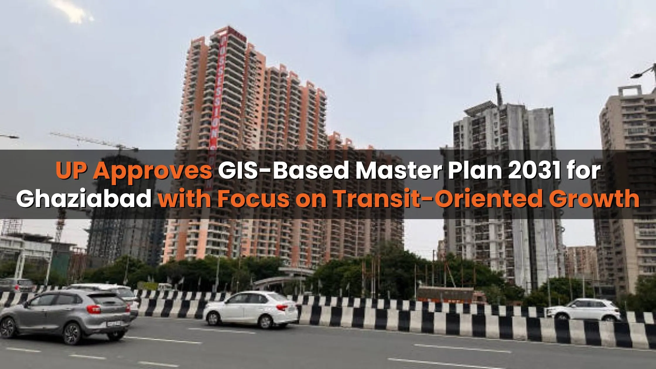
The Uttar Pradesh government has approved a GIS-based Master Plan 2031 for Ghaziabad, aimed at reshaping the urban fabric of Ghaziabad, Loni, and Modinagar/Muradnagar. This forward-looking urban framework emphasizes Transit-Oriented Development (TOD), prioritizing improved mobility, sustainable city expansion, and attracting significant investments.
The master plan provides a detailed roadmap for enhancing livability, promoting high-rise development, and directly linking future real estate projects to advanced transit infrastructure.
Key Features of the GIS-Based Master Plan 2031
The latest plan leverages Geographic Information System (GIS) technology to ensure more precise and transparent urban development. By integrating GIS mapping, the Ghaziabad Development Authority (GDA) can optimize land use and infrastructure planning effectively.
Major highlights of the plan include:
- Mixed-use land designation: Separate zones earmarked for residential, commercial, industrial, recreational, and transport activities.
- Special Development Areas (SDAs): Allocations for accommodating a growing urban population and future expansion.
- Transit corridor integration: Strategic land use aligned with key infrastructure projects like the Regional Rapid Transit System (RRTS) and Metro lines.
Officials describe the plan as a structured blueprint for long-term sustainable growth and better urban governance.
Transit-Oriented Development: The Core Strategy
A standout component of the GIS-based Master Plan 2031 for Ghaziabad is its emphasis on Transit-Oriented Development. TOD creates high-density, walkable, mixed-use urban zones around major transport hubs, reducing dependence on private vehicles.
Under the plan:
- 4,261.43 hectares have been marked for TOD along the RRTS corridor.
- 636.61 hectares have been allocated for TOD along Metro lines.
Global cities like Singapore, Hong Kong, and Washington D.C. have successfully adopted TOD models to improve mobility and spur urban growth. Ghaziabad’s approach mirrors these practices to establish itself as a modern, well-connected, and environmentally conscious city.
Land Use and Urban Expansion
The GIS-based Master Plan 2031 outlines a major jump in urban development area compared to the 2021 master plan:
- Total development area: 32,017.81 hectares (up by 27.56% from 25,099.46 hectares earlier).
- Population forecast: 6.473 million residents by 2031.
Proposed land allocations include:
- Residential: 12,869.32 hectares
- Commercial: 744 hectares
- Industrial: 3,531.15 hectares
- Mixed-use: 552.74 hectares
- Recreational and transport infrastructure: Significant allocations to improve quality of life.
This expansion provides a structured solution to rising housing needs, commercial activity, and industrial growth.
Special Development Areas and Vertical Expansion
To accommodate rapid urbanization, the plan introduces Special Development Areas (SDAs) designed to encourage vertical and mixed-use development:
- Guldhar SDA: 510.56 hectares
- Duhai SDA: 549.5 hectares
These zones allow higher Floor Area Ratios (FAR), enabling the construction of high-rise buildings and dense mixed-use projects. Combined with TOD influence zones, SDAs aim to optimize land use and foster modern, vertical cityscapes.
Integration with Major Transport Corridors
The success of Ghaziabad’s master plan lies in its strong synergy with upcoming and existing transit projects:
- RRTS: Development zones planned within a 1.5 km radius of each of the eight operational Namo Bharat stations.
- Metro influence zones: 500-meter TOD influence zones along both Blue and Red Line corridors.
- Expressways: Seamless connectivity through the Delhi–Meerut Expressway and Eastern Peripheral Expressway to support industrial and commercial hubs.
This alignment of urban growth with infrastructure ensures better accessibility and livability.
What Industry Leaders Say
Real estate developers and urban planners have praised the GIS-based Master Plan 2031 for Ghaziabad as a transformative step:
- Amit Modi (County Group): “The plan provides a roadmap for balanced urbanization, improving residents’ quality of life while attracting investors.”
- Prateek Tiwari (Prateek Group): “GIS-backed planning offers flexibility for sustainable and globally competitive developments.”
- Manoj Gaur (Gaurs Group): Advocated for uniform bylaws and expects similar initiatives across Noida and Yamuna Expressway.
- Vikas Bhasin (Saya Group): Highlighted Ghaziabad’s improving infrastructure as a magnet for homebuyers and businesses.
- Vikas Tomar (Square Yards): “This plan will reposition Ghaziabad as a self-sufficient, investment-friendly city, rather than a spillover of Delhi and Noida.”
Real Estate Impact and Investment Potential
The master plan is expected to unlock substantial opportunities for developers and investors:
- High-rise residential and commercial projects near TOD hubs.
- Expansion of industrial clusters and business districts.
- Rising property values in SDA and TOD influence zones.
By tying urban growth directly to transit and infrastructure capacity, Ghaziabad is set to become one of NCR’s most attractive investment markets.
Also Read: UP Govt to Introduce QR Code-Based Property Ownership Verification by 2026
Challenges and the Road Ahead
While the plan is comprehensive, its success hinges on:
- Timely execution of TOD and SDA projects.
- Seamless coordination between government agencies and developers.
- Transparent implementation of urban bylaws and land-use policies.
Proper execution will determine how effectively Ghaziabad evolves into a sustainable, resilient, and modern urban hub.
Conclusion
The GIS-based Master Plan 2031 for Ghaziabad marks a turning point in the city’s development journey. With its emphasis on transit-oriented growth, integrated land use, and sustainable infrastructure, the plan sets the foundation for Ghaziabad to emerge as a smart, investment-friendly city in NCR.
By aligning real estate and infrastructure strategies, the plan promises enhanced livability for residents and long-term opportunities for investors.
_1784272311.webp)


Ans 1. The GIS-based Master Plan 2031 is a structured urban development roadmap for Ghaziabad, Loni, and Modinagar/Muradnagar. It uses Geographic Information System technology to guide land use, infrastructure expansion, and sustainable city planning with a strong focus on transit-oriented growth.
Ans 2. TOD is central because it promotes high-density, walkable, mixed-use zones around major transport hubs like the RRTS and Metro. This reduces dependence on private vehicles, improves mobility, and makes urban growth more sustainable, similar to global best practices in cities like Singapore and Hong Kong.
Ans 3. The plan allocates about 4,261.43 hectares for TOD along the RRTS corridor and 636.61 hectares along Metro routes. These areas are strategically placed to enhance accessibility and promote dense, transit-linked development.
Ans 4. Compared to the 2021 plan, the total development area will grow by about 27.56%, reaching 32,017.81 hectares. This expansion supports the forecasted population of nearly 6.5 million residents by 2031 and accommodates housing, industry, and commercial growth.
Ans 5. SDAs like those planned in Guldhar and Duhai are zones that allow higher Floor Area Ratios to encourage vertical and mixed-use growth. They are designed to meet the city’s housing and infrastructure needs while making better use of available land.
Ans 6. The master plan aligns growth with projects like the RRTS, Metro corridors, and expressways. Development zones are planned within a 1.5 km radius of Namo Bharat stations and within 500 meters of Metro lines, ensuring improved connectivity and easier commutes.
Ans 7. By linking urban expansion to transit hubs and modern infrastructure, the plan is expected to boost high-rise residential and commercial projects, industrial clusters, and property values. This makes Ghaziabad an attractive market for investors and homebuyers.
Ans 8. Residents can expect better mobility, sustainable housing, recreational spaces, and enhanced livability. The focus on modern infrastructure and reduced congestion will improve overall quality of life in the city.
Ans 9. The success of the plan depends on timely execution, proper coordination between authorities and developers, and transparent application of bylaws. Without these, the intended benefits may face delays or partial realization.
Ans 10. It’s significant because it shifts Ghaziabad’s image from being a spillover market of Delhi and Noida to a self-sufficient, investment-friendly urban hub. By embracing GIS-backed planning and TOD, the city is poised for modern, sustainable, and globally competitive growth.