Table of Content
▲- What Is the Gorakhpur Shamli Expressway?
- Quick Facts About Gorakhpur Shamli Expressway
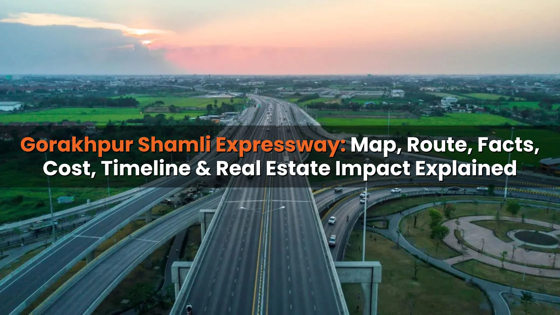
- Gorakhpur Shamli Expressway Map Overview
- Gorakhpur Shamli Expressway Route Details
- Gorakhpur Shamli Expressway Project Cost & Funding
- Gorakhpur Shamli Expressway Travel Time Impact
- Gorakhpur Shamli Expressway Toll Charges (Expected)
- Who Is Constructing the Gorakhpur Shamli Expressway?
- Gorakhpur Shamli Expressway Current Status
- Gorakhpur Shamli Expressway Timeline
- Expressways Connected to Gorakhpur Shamli Expressway
- Strategic & Economic Importance
- Gorakhpur Shamli Expressway Real Estate Impact
- Upcoming Real Estate Projects Along the Expressway
- Gorakhpur Shamli Expressway Extension to Panipat
- Operational Control & Technical Updates
- Conclusion
The Gorakhpur Shamli Expressway is poised to become one of the most ambitious and strategically important road infrastructure projects ever planned in Uttar Pradesh. Designed as a six-lane, access-controlled greenfield expressway, this corridor will directly connect eastern Uttar Pradesh with western Uttar Pradesh, cutting across the state in a near-straight east–west alignment.
Spanning close to 700 kilometres, the expressway aims to drastically reduce travel time, improve logistics efficiency, decongest existing national highways, and unlock new economic and real estate opportunities across more than 20 districts. In this detailed guide, we explain the Gorakhpur Shamli Expressway map, route, districts covered, project cost, current status, timeline, toll expectations, and its long-term impact on cities and property markets.
What Is the Gorakhpur Shamli Expressway?
The Gorakhpur Shamli Expressway is a proposed high-speed corridor being developed under the supervision of the National Highways Authority of India (NHAI). Its primary objective is to establish a direct east–west expressway spine within Uttar Pradesh something the state currently lacks despite having multiple north–south and diagonal corridors.
Currently, long-distance travel between eastern UP cities, such as Gorakhpur, and western UP cities, like Meerut or Shamli, typically involves detours via Delhi, Agra, or congested national highways, significantly increasing travel time and fuel consumption. The new expressway eliminates this inefficiency by offering a seamless, signal-free route across the state.
Once completed, the project will surpass the Purvanchal Expressway in length and emerge as the longest expressway in Uttar Pradesh, reinforcing the state’s position as India’s fastest-growing expressway network.
Also Read: Gorakhpur Link Expressway: Enhancing Connectivity and Growth in Eastern Uttar Pradesh
Quick Facts About Gorakhpur Shamli Expressway
|
Parameter |
Details |
|
Project Name |
Gorakhpur Shamli Expressway |
|
Total Length |
Approx. 700 km |
|
Configuration |
6 lanes (expandable) |
|
Design Speed |
120 kmph |
|
Districts Covered |
Around 22 |
|
Estimated Cost |
₹35,000 crore |
|
Implementing Authority |
NHAI |
|
Project Type |
Greenfield expressway |
|
Current Status |
DPR completed, land acquisition in progress |
|
Expected Completion |
2028–29 |
Gorakhpur Shamli Expressway Map Overview
The Gorakhpur Shamli Expressway map clearly highlights its importance as a state-wide connector. Starting from Gorakhpur in eastern UP, close to the Nepal border, the expressway travels westward through the central and Rohilkhand regions before terminating at Shamli, near the Haryana border.
This alignment has been carefully planned to:
- Avoid heavily urbanised zones
- Reduce land acquisition complications
- Enable higher design speeds
- Support future industrial corridors
The map also indicates planned interchanges with existing expressways and national highways, ensuring smooth integration into Uttar Pradesh’s expanding road network.
Gorakhpur Shamli Expressway Route Details
Districts Covered
The expressway is proposed to pass through a wide cross-section of Uttar Pradesh, including:
- Gorakhpur
- Sant Kabir Nagar
- Siddharthnagar
- Balrampur
- Bahraich
- Sitapur
- Lucknow
- Hardoi
- Shahjahanpur
- Badaun
- Rampur
- Bareilly
- Sambhal
- Moradabad
- Amroha
- Bijnor
- Meerut
- Muzaffarnagar
- Saharanpur
- Shamli
This extensive coverage ensures that both developedunderserved cities and under-served districts benefit from high-speed connectivity.
Tehsils & Key Junctions
Multiple grade-separated interchanges are planned near major tehsils and highways, improving:
- Last-mile connectivity
- Access to agricultural produce
- Industrial freight movement
- Emergency services response time
Gorakhpur Shamli Expressway Project Cost & Funding
The total estimated cost of the Gorakhpur Shamli Expressway stands at approximately ₹35,000 crore. This figure includes:
- Land acquisition compensation
- Six-lane concrete pavement
- Service roads
- Flyovers, underpasses, and interchanges
- Toll plazas and ITS systems
- Emergency landing strips
- Environmental mitigation measures
Funding will primarily come from central and state government allocations, with NHAI overseeing execution through an EPC and HAM-based hybrid model.
Gorakhpur Shamli Expressway Travel Time Impact
Currently, road travel from Gorakhpur to Shamli can take anywhere between 14 and 16 hours, depending on traffic and route selection.
Post completion:
- Travel time is expected to reduce to 7–8 hours
- Fuel consumption may drop by 20–25%
- Logistics turnaround time will significantly improve
This makes the expressway especially valuable for freight operators, exporters, defence logistics, and inter-city bus services.
Gorakhpur Shamli Expressway Toll Charges (Expected)
While official toll rates are yet to be announced, NHAI typically follows a distance-based tolling mechanism.
Factors influencing toll charges include:
- Construction cost per km
- Vehicle category
- Inflation indexing
- Maintenance expenditure
FASTag-based electronic toll collection will be mandatory, ensuring minimal stoppage and faster movement.
Who Is Constructing the Gorakhpur Shamli Expressway?
The project is being implemented by NHAI, which is responsible for:
- DPR preparation
- Land acquisition coordination
- Contractor selection
- Quality and safety monitoring
To expedite execution, the expressway is divided into multiple construction packages, enabling parallel construction across different sections.
Gorakhpur Shamli Expressway Current Status
Planning & DPR
- Detailed Project Report completed
- Route alignment finalised
- Environmental and social impact assessments conducted
Land Acquisition
- Ongoing in phases across districts
- Compensation aligned with the Right to Fair Compensation Act
- Rural landowners offered higher multipliers
Construction Outlook
- Initial construction expected to begin from western UP stretches
- Full-scale work likely from FY 2026–27
Gorakhpur Shamli Expressway Timeline
|
Phase |
Timeline |
|
Surveys & DPR |
2023 |
|
Approvals & Packaging |
2024 |
|
Land Acquisition |
2025–26 |
|
Construction Start |
2026 |
|
Expected Completion |
2028–29 |
Expressways Connected to Gorakhpur Shamli Expressway
|
Connected Expressway |
Benefit |
|
Purvanchal Expressway |
Eastern UP linkage |
|
Ganga Expressway |
North–south integration |
|
Lucknow–Gorakhpur Expressway |
Capital access |
|
Delhi–Dehradun Expressway |
NCR & Uttarakhand |
|
Ambala–Shamli Expressway |
Haryana & Punjab |
Strategic & Economic Importance
Defence & Emergency Preparedness
- Emergency airstrips planned
- Rapid mobilisation routes near Nepal border
Trade & Logistics
- Faster access to NCR markets
- Boost to agri-logistics and MSMEs
Greenfield Development
- Controlled access reduces accidents
- Lower emissions per vehicle km
Gorakhpur Shamli Expressway Real Estate Impact
The expressway is expected to act as a price catalyst for land and housing markets.
Cities Likely to Benefit
- Gorakhpur
- Lucknow
- Bareilly
- Moradabad
- Meerut
- Muzaffarnagar
Expected Appreciation
- Residential land: 10–20%
- Highway-facing commercial plots: 20–30%
- Logistics hubs: even higher
Also Read: Top 10 Longest Expressways in India in 2025 – Connecting India’s Future
Upcoming Real Estate Projects Along the Expressway
Gorakhpur
- Ashiyana City
- Mani Shanti Dream City
Lucknow
- Shalimar OneWorld
- One Oak Atmos
- Gallant West
Gorakhpur Shamli Expressway Extension to Panipat
The proposed extension toward Panipat will further strengthen:
- NCR connectivity
- Industrial corridor integration
- Textile and manufacturing supply chains
Operational Control & Technical Updates
- Supervised by NHAI Roorkee Regional Unit
- Drone-based monitoring
- Two-phase execution strategy
Conclusion
The Gorakhpur Shamli Expressway represents a major leap in Uttar Pradesh’s infrastructure planning. By stitching together the eastern and western ends of the state, it promises faster mobility, stronger logistics, balanced development, and long-term real estate growth. Once operational, this corridor will not just reduce distances—it will reshape economic geography.


Ans 1. The Gorakhpur Shamli Expressway is a proposed 700 km long, six-lane greenfield expressway that will directly connect eastern and western Uttar Pradesh. It is important because it creates the state’s first true east–west high-speed corridor, reducing travel time, improving logistics, and supporting balanced regional development.
Ans 2. The expressway is planned to pass through around 20–22 districts, including Gorakhpur, Lucknow, Sitapur, Bareilly, Moradabad, Meerut, Muzaffarnagar, and Shamli, ensuring connectivity for both developed cities and underserved regions.
Ans 3. The total project cost is estimated at around ₹35,000 crore. This includes land acquisition, construction of six lanes, interchanges, service roads, toll systems, safety features, and environmental mitigation measures.
Ans 4. Currently, travel between Gorakhpur and Shamli takes 14–16 hours by road. Once the expressway is operational, travel time is expected to reduce to about 7–8 hours, along with lower fuel consumption and faster freight movement.
Ans 5. Land acquisition is expected to continue through 2025–26, with construction likely starting in 2026. The expressway is targeted for completion between 2028 and 2029, subject to approvals and execution timelines.
Ans 6. The project is being implemented by the National Highways Authority of India (NHAI). The construction will be divided into multiple packages to allow parallel work and faster completion.
Ans 7. Yes, the expressway will be tolled using a distance-based system, similar to other NHAI expressways. FASTag-based electronic toll collection will be mandatory, although exact toll rates are yet to be announced.
Ans 8. The expressway is expected to boost land and property values along its route. Residential land prices could rise by 10–20%, while commercial and logistics-related plots near interchanges may see appreciation of 20–30% or more over time.
Ans 9. Cities such as Gorakhpur, Lucknow, Bareilly, Moradabad, Meerut, and Muzaffarnagar are expected to see increased demand for housing, commercial projects, and logistics hubs due to improved connectivity.
Ans 10. Yes, it will integrate with key corridors such as the Purvanchal Expressway, Ganga Expressway, Lucknow–Gorakhpur Expressway, and Delhi–Dehradun Expressway, creating a strong statewide and inter-state road network.