Table of Content
▲
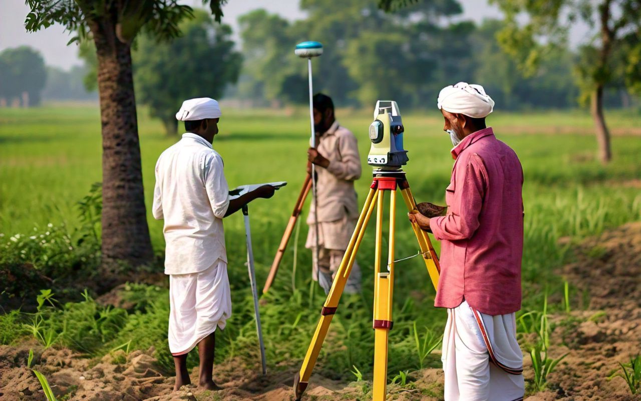
In a noteworthy update, the Bihar government has prolonged the deadline for landowners to submit their self-declaration property documents by 180 working days. This action is part of the state's continuing special land survey project designed to refresh land records—a measure that has been awaited for a long time.
The updated deadline, now established for February 2025, takes the place of the previous timeline of August 2024. This choice was determined in a cabinet meeting led by Bihar's Chief Minister, Nitish Kumar.
Historical Context of Land Surveys in Bihar
The importance of this survey is immense, given that the most recent cadastral survey in Bihar was conducted in 1911. More than a hundred years have gone by since then, during which the nature of landholding and ownership has changed remarkably. Family divisions, urban growth, and evolving farming methods have resulted in a maze of conflicts and discrepancies in land documentation. The present survey aims to address these problems by recording revised lineage (Vanshavali) information and property ownership.
The aim of the government is to reduce land conflicts and establish a precise database of land records, offering a clear and dependable structure for upcoming transactions.
Also Read: Exploring the YEIDA Plot Scheme 2024: Key Details You Need

The Extended Deadline: A Practical Move
The revenue and land reforms department proposed the extension to February 2025, which was subsequently approved by the state cabinet. Additional Chief Secretary S. Siddharth emphasized that this extension allows landowners sufficient time to collect and submit the required documents.
An official announcement from the department confirmed this change in timeline, guaranteeing that stakeholders are fully aware of the updated deadline. By permitting a longer timeframe, the government seeks to promote greater involvement and adherence among property owners.
Post-Submission Processes: What’s Next?
Once the uploading phase concludes in February 2025, the next steps in the process will follow a structured timeline:
- Verification of Village Maps: This stage will span 90 working days, during which officials will meticulously cross-check submitted documents with existing records.
- Claims and Objections: A 60-day period will be allotted for landowners to raise disputes or clarify discrepancies in the records.
- Resolution Phase: Another 60 working days will be dedicated to resolving these claims and objections.
Should further adjustments be needed after the final publication of records, the government has kept the provision for an additional 90-day extension.
A Move Toward Simplifying Land Management
Reforms Minister Dilip Jaiswal highlighted that the extension is intended to enhance accessibility for landowners. By granting extra time, the government guarantees that people, especially those in rural and isolated regions, can meet the requirements without excessive stress.
“This choice demonstrates the government's dedication to a just and inclusive procedure." "It guarantees that every landowner has the same chance to take part," Jaiswal stated.
_____
The Bihar government’s choice to prolong the timeline for submitting property documents reflects a considerate strategy for tackling land management issues. Having surpassed a century since the previous thorough survey, this effort marks an essential move toward addressing enduring conflicts and creating a clear land record system.
By providing landowners additional time, the government has demonstrated awareness of the challenges encountered by its citizens. As the process progresses, it offers the potential to change Bihar’s land administration, build trust, and create opportunities for fair development.
Also Read: MHADA's Konkan Board Expands 2024 Affordable Housing Scheme to 16,000 Units


_1770286619.webp)
Ans 1. The deadline was extended to give landowners sufficient time to upload their self-declaration documents as part of a special land survey aimed at updating land records and minimizing disputes.
Ans 2. The new deadline for uploading property documents is February 2025, extended from the previous timeline of August 2024.
Ans 3. The survey aims to update land records, resolve land disputes, and ensure accurate documentation of ownership and lineage (Vanshavali) details, as the last comprehensive survey was conducted in 1911.
Ans 4. After document uploads, the verification of village maps will take 90 working days. Claims and objections will be accepted over 60 working days, followed by a resolution period of 60 working days.
Ans 5. Yes, the government may extend the deadline by an additional 90 working days if necessary after the final publication of records.
Ans 6. The proposal to extend the deadline was approved by the Bihar state cabinet, chaired by Chief Minister Nitish Kumar.
Ans 7. The survey will provide a more accurate and transparent system for landownership, helping to resolve disputes and ensuring fair documentation for all landowners.
Ans 8. Landowners need to upload self-declaration property documents, including lineage (Vanshavali) details, to help update and verify their land records.
Ans 9. No, the last cadastral survey was conducted in 1911. This is the first major update in over a century to accurately reflect current landownership and boundaries.
Ans 10. Landowners can upload their documents through the designated online portal provided by the Bihar government for the land survey process. Detailed instructions will be made available by local authorities.